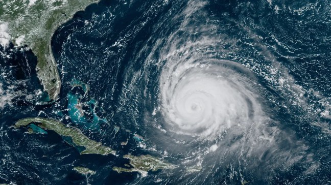
The National Oceanographic and Atmospheric Administration (NOAA) and the National Hurricane Center (NHC) have announced the changes to the products and services released as part of the risk communication during the Hurricane Season. This short piece wants to provide a summary of the key changes, and related considerations, for a non-technical audience while not substituting the official documentation from NOAA/NHC.
1) Spanish Version Availability
One of the changes will pertain to the availability of products in Spanish. They will be available for selected storms and provided by the National Weather Service (NWS) Weather Forecast Office in San Juan, Puerto Rico. This will ultimately increase the accessibility of information to Spanish speakers, making risk communication more equitable.
2) Watches and Warnings Available in the Intermediate Advisories
The intermediate advisories will now include updates on tropical storms, hurricanes, and storm surge watches and warnings. This will allow for prompt communication with the public and relevant stakeholders about new information becoming available to practitioners.
3) Wind Predictions Available for Day 4 and Day 5
The wind radii forecast for tropical storms 39 mph and 58 mph will be extended to day 4 (96 hours) and day 5 (120 hours). Previously, it was available only up until day 3 (72 hours). This will provide the public and relevant stakeholders with key information in the view of emergency preparedness, as it will show such wind predictions for more days than they used to be.
4) Inland Tropical Storm/Hurricane Watches and Warnings for Storm Surge
Starting August 15, an experimental version of the cone of uncertainty graphic will be made available and will include inland tropical storms and hurricane watches and warnings in effect for the continental United States, instead of having such representation for coastal areas only. This is of great importance given the increased risk associated with inland flooding. However, according to the language of the document, it appears that such products won’t be available beyond the continental United States, including, for example, the U.S. State of Hawaii and the U.S. Territory of Puerto Rico.
5) Rainfall Totals Available for Central America and the Caribbean
Then, NHC in partnership with the Weather Prediction Center (WPC) will issue rainfall graphics for Central America and the Caribbean, to display the forecast of rainfall totals of tropical storms/hurricanes in those areas.
Additional changes to the products and services for 2024, in addition to further details of the above-mentioned ones, are available here: https://www.nhc.noaa.gov/pdf/NHC_Updates_2024.pdf
Sara Belligoni
Featured Image Credits: Photo by Lauren Dauphin/NASA Earth Observatory/NOAA/NESDIS
